
Mayos topographic map
Interactive map
Click on the map to display elevation.
About this map
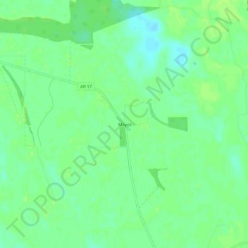
Name: Mayos topographic map, elevation, terrain.
Location: Mayos, Monroe County, Arkansas, Estados Unidos de América (34.43232 -91.09901 34.47232 -91.05901)
Average elevation: 51 m
Minimum elevation: 44 m
Maximum elevation: 55 m