
Thank you for supporting this site ❤️
Make a donation
Make a donation
Kalgin Island topographic map
Click on the map to display elevation.
Thank you for supporting this site ❤️
Make a donation
Make a donation
About this map
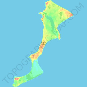
Name: Kalgin Island topographic map, elevation, terrain.
Location: Kalgin Island, Kenai Peninsula, Alaska, USA (60.34065 -152.08541 60.51522 -151.83409)
Average elevation: 4 m
Minimum elevation: 0 m
Maximum elevation: 71 m
Thank you for supporting this site ❤️
Make a donation
Make a donation
Other topographic maps
Click on a map to view its topography, its elevation and its terrain.