
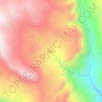
Demul topographic map
Interactive map
Click on the map to display elevation.
About this map
Name: Demul topographic map, elevation, terrain.
Average elevation: 4,356 m
Minimum elevation: 3,583 m
Maximum elevation: 4,858 m
Other topographic maps
Click on a map to view its topography, its elevation and its terrain.
Kaza
India > Himachal Pradesh > Spiti
Kaza, Spiti, Lahaul and Spiti District, Himachal Pradesh, India
Average elevation: 4,161 m