
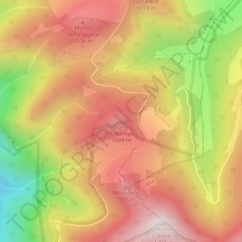
Monte Maltempo topographic map
Interactive map
Click on the map to display elevation.
About this map
Name: Monte Maltempo topographic map, elevation, terrain.
Location: Monte Maltempo, Fabriano, Ancona, Marche, Italia (43.34707 13.03412 43.34717 13.03422)
Average elevation: 839 m
Minimum elevation: 358 m
Maximum elevation: 1,181 m
Other topographic maps
Click on a map to view its topography, its elevation and its terrain.