
Thank you for supporting this site ❤️
Make a donation
Make a donation
Barlow topographic map
Click on the map to display elevation.
Thank you for supporting this site ❤️
Make a donation
Make a donation
About this map
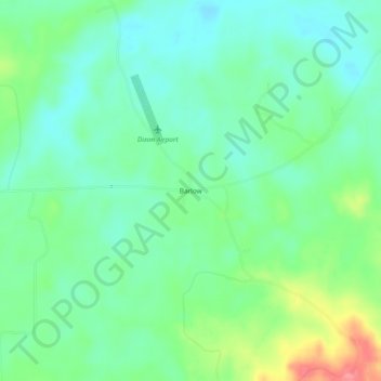
Name: Barlow topographic map, elevation, terrain.
Location: Barlow, Copiah County, Mississippi, 39144, United States (31.80266 -90.66926 31.84266 -90.62926)
Average elevation: 94 m
Minimum elevation: 69 m
Maximum elevation: 152 m
Thank you for supporting this site ❤️
Make a donation
Make a donation
Other topographic maps
Click on a map to view its topography, its elevation and its terrain.