
Krems topographic map
Interactive map
Click on the map to display elevation.
About this map
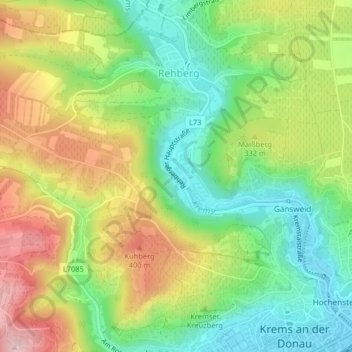
Name: Krems topographic map, elevation, terrain.
Average elevation: 300 m
Minimum elevation: 198 m
Maximum elevation: 437 m
Other topographic maps
Click on a map to view its topography, its elevation and its terrain.
Krems an der Donau
Österreich > Niederösterreich > Krems an der Donau
Krems an der Donau, Niederösterreich, Österreich
Average elevation: 310 m