
Thank you for supporting this site ❤️
Make a donation
Make a donation
Los Algarves topographic map
Click on the map to display elevation.
Thank you for supporting this site ❤️
Make a donation
Make a donation
About this map
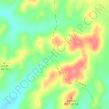
Name: Los Algarves topographic map, elevation, terrain.
Location: Los Algarves, El Coronil, Sevilla, Andalusien, Spanien (37.03778 -5.68805 37.05778 -5.66805)
Average elevation: 93 m
Minimum elevation: 55 m
Maximum elevation: 141 m
Thank you for supporting this site ❤️
Make a donation
Make a donation