
Sarasota topographic map
Interactive map
Click on the map to display elevation.
About this map
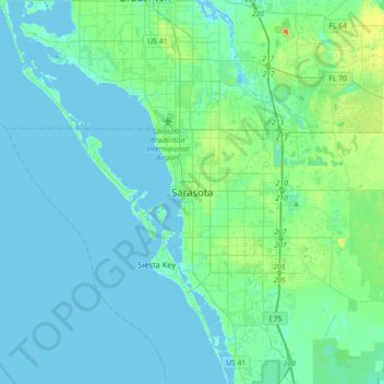
Name: Sarasota topographic map, elevation, terrain.
Location: Sarasota, Sarasota County, Floride, 34321, États-Unis (27.17643 -82.69065 27.49643 -82.37065)
Average elevation: 6 m
Minimum elevation: -1 m
Maximum elevation: 36 m