
Control topographic map
Interactive map
Click on the map to display elevation.
About this map
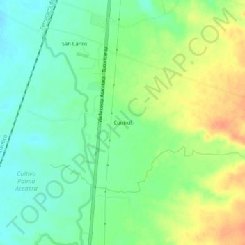
Name: Control topographic map, elevation, terrain.
Location: Control, Aracataca, Magdalena, Colombia (10.59258 -74.18434 10.63258 -74.14434)
Average elevation: 46 m
Minimum elevation: 28 m
Maximum elevation: 71 m