
Alfonso Ugarte topographic map
Interactive map
Click on the map to display elevation.
About this map
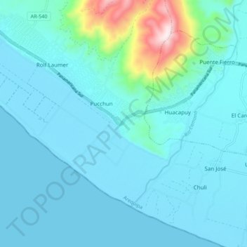
Name: Alfonso Ugarte topographic map, elevation, terrain.
Location: Alfonso Ugarte, Provincia de Camaná, Arequipa, Perú (-16.64518 -72.80708 -16.56518 -72.72708)
Average elevation: 71 m
Minimum elevation: 0 m
Maximum elevation: 608 m