
Braam topographic map
Interactive map
Click on the map to display elevation.
About this map
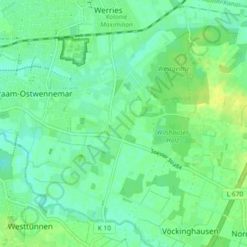
Name: Braam topographic map, elevation, terrain.
Location: Braam, Uentrop, Hamm, Noordrijn-Westfalen, 59071, Duitsland (51.64966 7.87540 51.68966 7.91540)
Average elevation: 67 m
Minimum elevation: 59 m
Maximum elevation: 77 m