
古城 topographic map
Interactive map
Click on the map to display elevation.
About this map
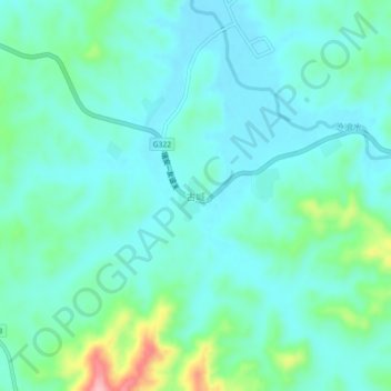
Name: 古城 topographic map, elevation, terrain.
Location: 古城, 南丰县, 抚州市, 江西省, 中国 (27.12751 116.58460 27.16751 116.62460)
Average elevation: 130 m
Minimum elevation: 99 m
Maximum elevation: 248 m
Other topographic maps
Click on a map to view its topography, its elevation and its terrain.