
Thank you for supporting this site ❤️
Make a donation
Make a donation
Manssetur topographic map
Click on the map to display elevation.
Thank you for supporting this site ❤️
Make a donation
Make a donation
About this map
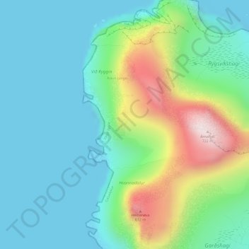
Name: Manssetur topographic map, elevation, terrain.
Location: Manssetur, Gåsedal, Vága sýsla, 387, Færøerne (62.12216 -7.46524 62.14216 -7.44524)
Average elevation: 186 m
Minimum elevation: 0 m
Maximum elevation: 720 m
Thank you for supporting this site ❤️
Make a donation
Make a donation