
Buckshot topographic map
Interactive map
Click on the map to display elevation.
About this map
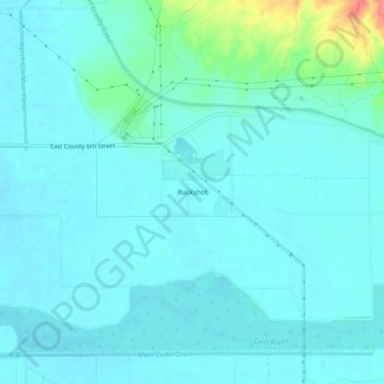
Name: Buckshot topographic map, elevation, terrain.
Location: Buckshot, Yuma County, Arizona, USA (32.71809 -114.50372 32.75809 -114.46372)
Average elevation: 52 m
Minimum elevation: 41 m
Maximum elevation: 114 m