
Orange Park topographic map
Interactive map
Click on the map to display elevation.
About this map
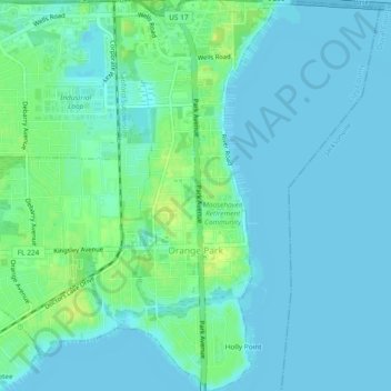
Name: Orange Park topographic map, elevation, terrain.
Location: Orange Park, Clay County, Floride, États-Unis d'Amérique (30.15093 -81.73084 30.19128 -81.69230)
Average elevation: 5 m
Minimum elevation: -1 m
Maximum elevation: 17 m