
Klamath National Forest topographic map
Interactive map
Click on the map to display elevation.
About this map
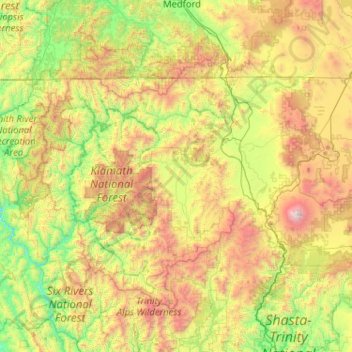
Name: Klamath National Forest topographic map, elevation, terrain.
Average elevation: 1,131 m
Minimum elevation: 36 m
Maximum elevation: 4,252 m