
Thank you for supporting this site ❤️
Make a donation
Make a donation
Lewisville topographic map
Click on the map to display elevation.
Thank you for supporting this site ❤️
Make a donation
Make a donation
About this map
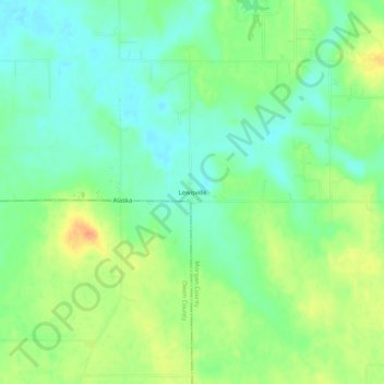
Name: Lewisville topographic map, elevation, terrain.
Location: Lewisville, Morgan County, Indiana, United States (39.45116 -86.65195 39.49116 -86.61195)
Average elevation: 243 m
Minimum elevation: 226 m
Maximum elevation: 267 m
Thank you for supporting this site ❤️
Make a donation
Make a donation
Other topographic maps
Click on a map to view its topography, its elevation and its terrain.