
Hamla topographic map
Interactive map
Click on the map to display elevation.
About this map
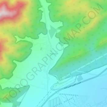
Name: Hamla topographic map, elevation, terrain.
Location: Hamla, Daïra Batna, Batna, Algérie (35.53699 6.06444 35.57699 6.10444)
Average elevation: 1,250 m
Minimum elevation: 1,082 m
Maximum elevation: 1,708 m