
Lac Shale topographic map
Interactive map
Click on the map to display elevation.
About this map
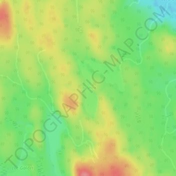
Name: Lac Shale topographic map, elevation, terrain.
Average elevation: 430 m
Minimum elevation: 390 m
Maximum elevation: 474 m
Other topographic maps
Click on a map to view its topography, its elevation and its terrain.
Lac Bréhaut
Canada > Québec > Rivière-de-la-Savane
Lac Bréhaut, Chemin du Lac-Bréhaut, Rivière-de-la-Savane, Mékinac, Mauricie, Québec, Canada
Average elevation: 464 m
Lac Ray
Canada > Québec > Rivière-de-la-Savane
Lac Ray, Rivière-de-la-Savane, Mékinac, Mauricie, Québec, Canada
Average elevation: 376 m