
Thank you for supporting this site ❤️
Make a donation
Make a donation
Cacet topographic map
Click on the map to display elevation.
Thank you for supporting this site ❤️
Make a donation
Make a donation
About this map
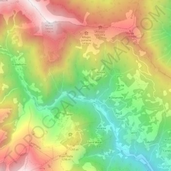
Name: Cacet topographic map, elevation, terrain.
Location: Cacet, Angrogna, Torino, Piemonte, 10066, Italia (44.84227 7.17718 44.88227 7.21718)
Average elevation: 1,158 m
Minimum elevation: 608 m
Maximum elevation: 1,742 m
Thank you for supporting this site ❤️
Make a donation
Make a donation