
Kichha topographic map
Interactive map
Click on the map to display elevation.
About this map
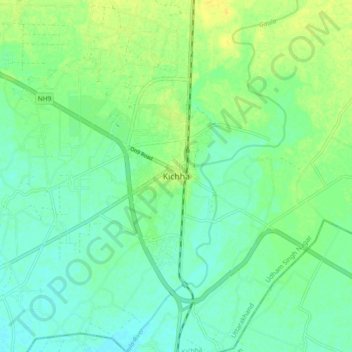
Name: Kichha topographic map, elevation, terrain.
Location: Kichha, Udham Singh Nagar, Uttarakhand, 263148, India (28.86962 79.47678 28.94962 79.55678)
Average elevation: 205 m
Minimum elevation: 197 m
Maximum elevation: 216 m
Kichha is located at 28°55′N 79°30′E / 28.92°N 79.50°E / 28.92; 79.50. The town has an average elevation of 293 meters (953 feet).