
Thank you for supporting this site ❤️
Make a donation
Make a donation
Floyds Knobs topographic map
Click on the map to display elevation.
Thank you for supporting this site ❤️
Make a donation
Make a donation
About this map
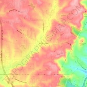
Name: Floyds Knobs topographic map, elevation, terrain.
Location: Floyds Knobs, Floyd County, Indiana, 47146, United States (38.30438 -85.89353 38.34438 -85.85353)
Average elevation: 251 m
Minimum elevation: 157 m
Maximum elevation: 293 m
Thank you for supporting this site ❤️
Make a donation
Make a donation
Other topographic maps
Click on a map to view its topography, its elevation and its terrain.