
双顶子山主峰 topographic map
Interactive map
Click on the map to display elevation.
About this map
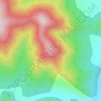
Name: 双顶子山主峰 topographic map, elevation, terrain.
Location: 双顶子山主峰, 吉林市, 吉林省, 中国 (43.63640 126.63747 43.63650 126.63757)
Average elevation: 510 m
Minimum elevation: 295 m
Maximum elevation: 801 m
Other topographic maps
Click on a map to view its topography, its elevation and its terrain.