
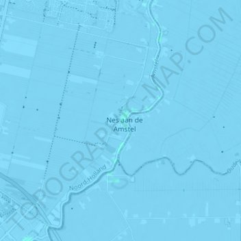
Nes aan de Amstel topographic map
Interactive map
Click on the map to display elevation.
About this map
Name: Nes aan de Amstel topographic map, elevation, terrain.
Location: Nes aan de Amstel, Nordholland, Niederlande, 1189, Niederlande (52.23985 4.85085 52.27985 4.89085)
Average elevation: -4 m
Minimum elevation: -8 m
Maximum elevation: 2 m