
Gaztelu topographic map
Interactive map
Click on the map to display elevation.
About this map
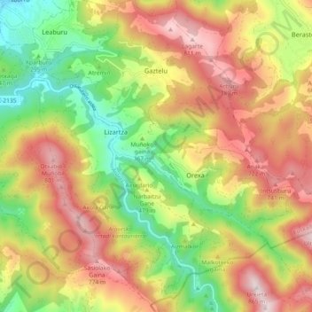
Name: Gaztelu topographic map, elevation, terrain.
Location: Gaztelu, Tolosaldea, Guipúzcoa, País Vasco, 20491, España (43.06519 -2.05710 43.13141 -1.97203)
Average elevation: 453 m
Minimum elevation: 84 m
Maximum elevation: 844 m