
Friúmes topographic map
Interactive map
Click on the map to display elevation.
About this map
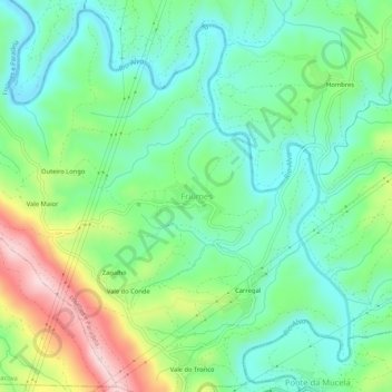
Name: Friúmes topographic map, elevation, terrain.
Location: Friúmes, Penacova, Coimbra, 3350-207, Portugal (40.25301 -8.23356 40.29301 -8.19356)
Average elevation: 138 m
Minimum elevation: 41 m
Maximum elevation: 351 m
Other topographic maps
Click on a map to view its topography, its elevation and its terrain.