
Thank you for supporting this site ❤️
Make a donation
Make a donation
Frihetsli topographic map
Click on the map to display elevation.
Thank you for supporting this site ❤️
Make a donation
Make a donation
About this map
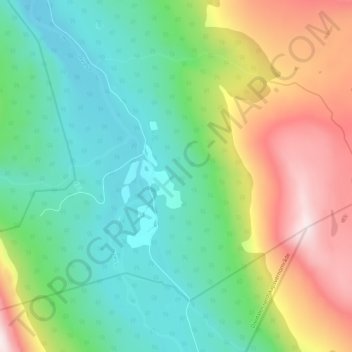
Name: Frihetsli topographic map, elevation, terrain.
Location: Frihetsli, Målselv, Тромс-ог-Финнмарк, Норвегия (68.75919 19.69439 68.79919 19.73439)
Average elevation: 439 m
Minimum elevation: 185 m
Maximum elevation: 938 m
Thank you for supporting this site ❤️
Make a donation
Make a donation
Other topographic maps
Click on a map to view its topography, its elevation and its terrain.