
Thank you for supporting this site ❤️
Make a donation
Make a donation
Wenona topographic map
Click on the map to display elevation.
Thank you for supporting this site ❤️
Make a donation
Make a donation
About this map
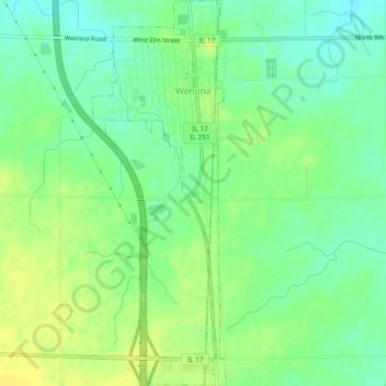
Name: Wenona topographic map, elevation, terrain.
Location: Wenona, Marshall County, Illinois, 61377, United States (41.02549 -89.06264 41.06081 -89.04632)
Average elevation: 214 m
Minimum elevation: 203 m
Maximum elevation: 223 m
Thank you for supporting this site ❤️
Make a donation
Make a donation