
Roman Forest topographic map
Interactive map
Click on the map to display elevation.
About this map
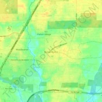
Name: Roman Forest topographic map, elevation, terrain.
Location: Roman Forest, Montgomery County, Texas, USA (30.16913 -95.20295 30.19040 -95.11031)
Average elevation: 31 m
Minimum elevation: 19 m
Maximum elevation: 40 m