
La Playita topographic map
Interactive map
Click on the map to display elevation.
About this map
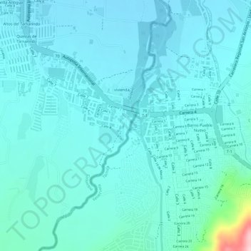
Name: La Playita topographic map, elevation, terrain.
Location: La Playita, La Parada, Norte de Santander, Colombia (7.80627 -72.46193 7.82627 -72.44193)
Average elevation: 427 m
Minimum elevation: 395 m
Maximum elevation: 629 m