
Guarita topographic map
Interactive map
Click on the map to display elevation.
About this map
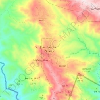
Name: Guarita topographic map, elevation, terrain.
Location: Guarita, Lempira, Honduras (14.14342 -88.86224 14.22342 -88.78224)
Average elevation: 714 m
Minimum elevation: 287 m
Maximum elevation: 1,209 m