
Thank you for supporting this site ❤️
Make a donation
Make a donation
Cawsane topographic map
Click on the map to display elevation.
Thank you for supporting this site ❤️
Make a donation
Make a donation
About this map
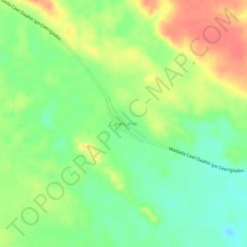
Name: Cawsane topographic map, elevation, terrain.
Location: Cawsane, Las Khorey District, Sanaag, Somaliland, Somalia (10.56288 48.78722 10.60288 48.82722)
Average elevation: 788 m
Minimum elevation: 763 m
Maximum elevation: 816 m
Thank you for supporting this site ❤️
Make a donation
Make a donation