
Bustelo topographic map
Interactive map
Click on the map to display elevation.
About this map
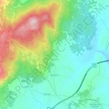
Name: Bustelo topographic map, elevation, terrain.
Location: Bustelo, Chaves, Vila Real, Portugal (41.77105 -7.51654 41.80485 -7.46209)
Average elevation: 488 m
Minimum elevation: 370 m
Maximum elevation: 746 m