
Thank you for supporting this site ❤️
Make a donation
Make a donation
IJsselmeer topographic map
Click on the map to display elevation.
Thank you for supporting this site ❤️
Make a donation
Make a donation
About this map
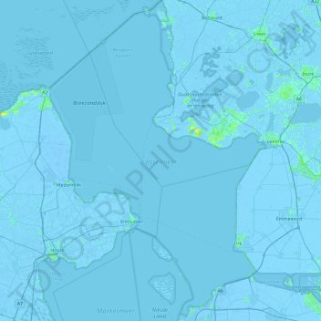
Name: IJsselmeer topographic map, elevation, terrain.
Location: IJsselmeer, Frisia, Netherlands (52.52721 5.03739 53.09167 5.71663)
Average elevation: -1 m
Minimum elevation: -7 m
Maximum elevation: 11 m
Thank you for supporting this site ❤️
Make a donation
Make a donation
Other topographic maps
Click on a map to view its topography, its elevation and its terrain.