
Ostafrika topographic map
Interactive map
Click on the map to display elevation.
About this map
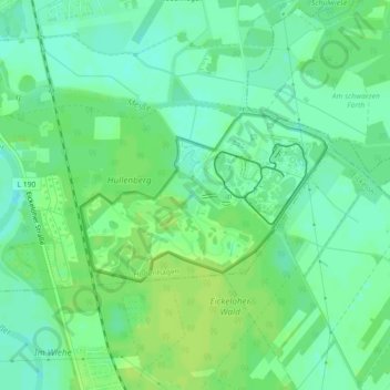
Name: Ostafrika topographic map, elevation, terrain.
Average elevation: 26 m
Minimum elevation: 18 m
Maximum elevation: 32 m
Other topographic maps
Click on a map to view its topography, its elevation and its terrain.
Nordafrika
Deutschland > Niedersachsen > Heidekreis > Hodenhagen
Nordafrika, Hodenhagen, Samtgemeinde Ahlden, Heidekreis, Niedersachsen, 29693, Deutschland
Average elevation: 26 m