
Thank you for supporting this site ❤️
Make a donation
Make a donation
Pagaluyon topographic map
Click on the map to display elevation.
Thank you for supporting this site ❤️
Make a donation
Make a donation
About this map
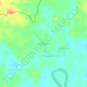
Name: Pagaluyon topographic map, elevation, terrain.
Location: Pagaluyon, Nunukan, North Kalimantan, Kalimantan, Indonesia (3.77647 116.79927 3.81647 116.83927)
Average elevation: 19 m
Minimum elevation: 3 m
Maximum elevation: 56 m
Thank you for supporting this site ❤️
Make a donation
Make a donation