
Muriel de la Fuente topographic map
Interactive map
Click on the map to display elevation.
About this map
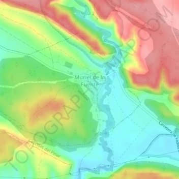
Name: Muriel de la Fuente topographic map, elevation, terrain.
Location: Muriel de la Fuente, Navaleno, Castela e Leão, Espanha (41.71454 -2.88672 41.73162 -2.85104)
Average elevation: 1,050 m
Minimum elevation: 995 m
Maximum elevation: 1,118 m