
Thank you for supporting this site ❤️
Make a donation
Make a donation
Trelogan topographic map
Click on the map to display elevation.
Thank you for supporting this site ❤️
Make a donation
Make a donation
About this map
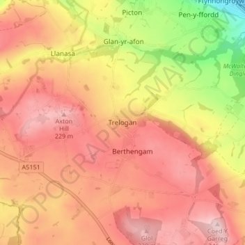
Name: Trelogan topographic map, elevation, terrain.
Location: Trelogan, Flintshire, Wales, CH8 9BH, United Kingdom (53.29107 -3.34739 53.33107 -3.30739)
Average elevation: 155 m
Minimum elevation: 0 m
Maximum elevation: 245 m
Thank you for supporting this site ❤️
Make a donation
Make a donation