
中正 topographic map
Interactive map
Click on the map to display elevation.
About this map
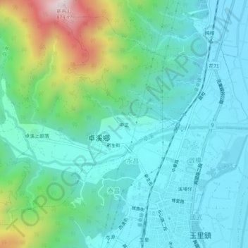
Name: 中正 topographic map, elevation, terrain.
Location: 中正, 卓溪村, 卓溪鄉, 花蓮縣, 982, 臺灣 (23.32913 121.28805 23.36913 121.32805)
Average elevation: 269 m
Minimum elevation: 103 m
Maximum elevation: 862 m
Other topographic maps
Click on a map to view its topography, its elevation and its terrain.