
Thank you for supporting this site ❤️
Make a donation
Make a donation
Keba topographic map
Click on the map to display elevation.
Thank you for supporting this site ❤️
Make a donation
Make a donation
About this map
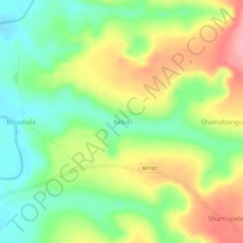
Name: Keba topographic map, elevation, terrain.
Location: Keba, Kasai, República Democrática del Congo (-7.23667 21.19667 -7.19667 21.23667)
Average elevation: 684 m
Minimum elevation: 627 m
Maximum elevation: 760 m
Thank you for supporting this site ❤️
Make a donation
Make a donation