
Laguna La Salina topographic map
Interactive map
Click on the map to display elevation.
About this map
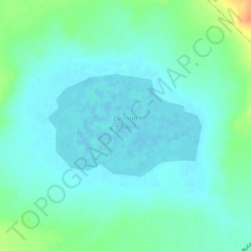
Name: Laguna La Salina topographic map, elevation, terrain.
Average elevation: 10 m
Minimum elevation: -2 m
Maximum elevation: 41 m
Other topographic maps
Click on a map to view its topography, its elevation and its terrain.
Golfo San Matías
Argentina > Río Negro > Viedma
Golfo San Matías, Ruta Nacional 3, Eucaliptos, Teushén, Viedma, Departamento Adolfo Alsina, Río Negro, 8500, Argentina
Average elevation: 34 m
Bahía Creek
Argentina > Río Negro > Viedma > Bahía Creek
Bahía Creek, Viedma, Departamento Adolfo Alsina, Río Negro, R8501, Argentina
Average elevation: 32 m
Sargento Cabral
Argentina > Río Negro > Viedma
Sargento Cabral, Viedma, Departamento Adolfo Alsina, Río Negro, Argentina
Average elevation: 6 m