
Barum topographic map
Interactive map
Click on the map to display elevation.
About this map
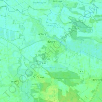
Name: Barum topographic map, elevation, terrain.
Location: Barum, Samtgemeinde Bardowick, Lüneburg, Lower Saxony, Germany (53.32224 10.36258 53.37090 10.43426)
Average elevation: 6 m
Minimum elevation: 1 m
Maximum elevation: 13 m