
Günseck topographic map
Interactive map
Click on the map to display elevation.
About this map
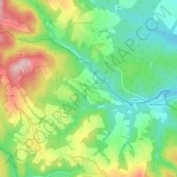
Name: Günseck topographic map, elevation, terrain.
Average elevation: 462 m
Minimum elevation: 364 m
Maximum elevation: 614 m
Other topographic maps
Click on a map to view its topography, its elevation and its terrain.
Glashütten bei Schlaining
Österreich > Burgenland > Bezirk Oberwart > Gemeinde Unterkohlstätten
Glashütten bei Schlaining, Gemeinde Unterkohlstätten, Bezirk Oberwart, Burgenland, 7435, Österreich
Average elevation: 561 m