
Thank you for supporting this site ❤️
Make a donation
Make a donation
Twijzelerheide topographic map
Click on the map to display elevation.
Thank you for supporting this site ❤️
Make a donation
Make a donation
About this map
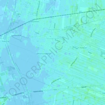
Name: Twijzelerheide topographic map, elevation, terrain.
Location: Twijzelerheide, Achtkarspelen, Frisia, Netherlands (53.22578 6.01979 53.24856 6.07911)
Average elevation: 2 m
Minimum elevation: -2 m
Maximum elevation: 7 m
Thank you for supporting this site ❤️
Make a donation
Make a donation
Other topographic maps
Click on a map to view its topography, its elevation and its terrain.