
Thank you for supporting this site ❤️
Make a donation
Make a donation
FELDA Palong Timur topographic map
Click on the map to display elevation.
Thank you for supporting this site ❤️
Make a donation
Make a donation
About this map
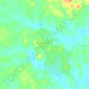
Name: FELDA Palong Timur topographic map, elevation, terrain.
Location: FELDA Palong Timur, Segamat, Johor, Malaysia (2.68796 102.66237 2.72796 102.70237)
Average elevation: 32 m
Minimum elevation: 17 m
Maximum elevation: 65 m
Thank you for supporting this site ❤️
Make a donation
Make a donation