
Thank you for supporting this site ❤️
Make a donation
Make a donation
Fort Scott topographic map
Click on the map to display elevation.
Thank you for supporting this site ❤️
Make a donation
Make a donation
Fort Scott
Fort Scott is located at 37°50′7″N 94°42′7″W / 37.83528°N 94.70194°W / 37.83528; -94.70194 (37.835180, −94.702015) at an elevation of 846 feet (258 m). It lies on the Osage Plains on the south side of the Marmaton River. Located at the intersection of U.S. Routes 54 and 69 in southeast Kansas, Fort Scott is approximately 54 miles (87 km) north of Joplin, Missouri, 92 miles (148 km) south of Kansas City, and 143 miles (230 km) east of Wichita.
Thank you for supporting this site ❤️
Make a donation
Make a donation
About this map
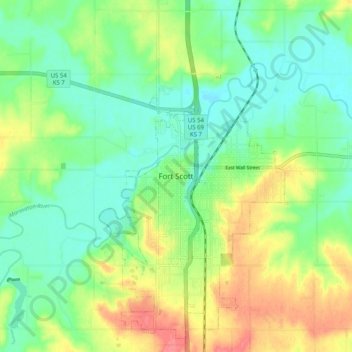
Name: Fort Scott topographic map, elevation, terrain.
Location: Fort Scott, Bourbon County, Kansas, 66701, United States (37.79998 -94.74829 37.87998 -94.66829)
Average elevation: 260 m
Minimum elevation: 235 m
Maximum elevation: 303 m
Thank you for supporting this site ❤️
Make a donation
Make a donation