
昆仑镇 topographic map
Interactive map
Click on the map to display elevation.
About this map
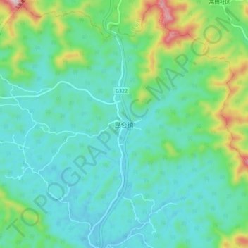
Name: 昆仑镇 topographic map, elevation, terrain.
Location: 昆仑镇, 兴宁区 (Xingning), 南宁市 / Nanning, Guangxi, China (23.02381 108.64299 23.10381 108.72299)
Average elevation: 256 m
Minimum elevation: 142 m
Maximum elevation: 660 m