
The Municipal District of Borris-in-Ossory — Mountmellick topographic map
Interactive map
Click on the map to display elevation.
About this map
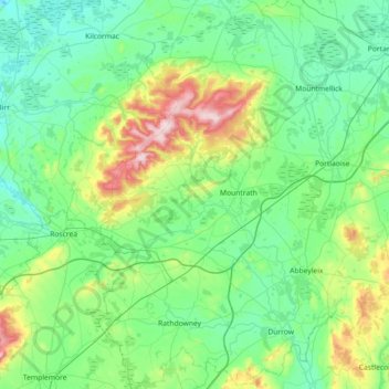
Name: The Municipal District of Borris-in-Ossory — Mountmellick topographic map, elevation, terrain.
Average elevation: 132 m
Minimum elevation: 38 m
Maximum elevation: 524 m