
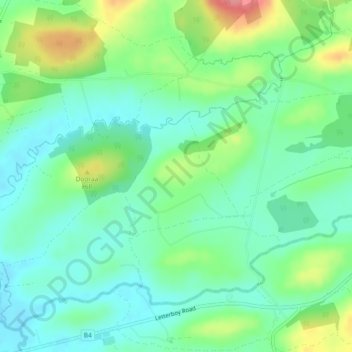
Gortgeran topographic map
Interactive map
Click on the map to display elevation.
About this map
Name: Gortgeran topographic map, elevation, terrain.
Average elevation: 74 m
Minimum elevation: 46 m
Maximum elevation: 135 m
Other topographic maps
Click on a map to view its topography, its elevation and its terrain.
Grubbaroe
Royaume-Uni > Irlande du Nord > Kesh
Grubbaroe, Kesh, County Fermanagh, Irlande du Nord, Royaume-Uni
Average elevation: 51 m