
Pilot Mound topographic map
Interactive map
Click on the map to display elevation.
About this map
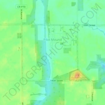
Name: Pilot Mound topographic map, elevation, terrain.
Location: Pilot Mound, Boone County, Iowa, États-Unis d'Amérique (42.15204 -94.02803 42.16657 -94.00850)
Average elevation: 340 m
Minimum elevation: 327 m
Maximum elevation: 358 m